A compact eastern Kyoto outing for canal history, temple grounds and seasonal photographs. This route favours time at the places themselves over collecting stops. The stay lengths and transfer buffers below are editorial planning estimates, not live schedules. Use the map to identify places and the official links to check your travel date.
Who this route suits
Day 1: Keage and Nanzen-ji
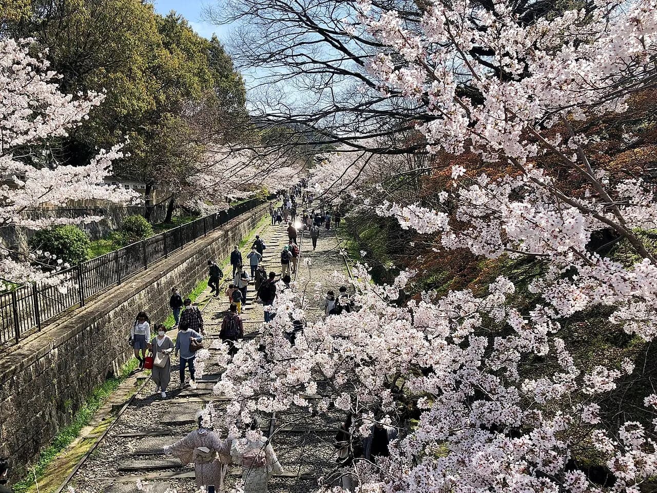
Choose this as a slower half-day or relaxed day rather than adding northwest Kyoto temples. The preserved rails explain the canal’s engineering history; blossom photographs do not mean that the trees flower year-round. Finish with one chosen paid temple area instead of rushing through every gate.
Keage Incline
Walk the preserved inclined railway as part of a canal-history outing. The rails are uneven; cherry blossoms are seasonal and the photograph is illustrative.
Nanzen-ji Temple
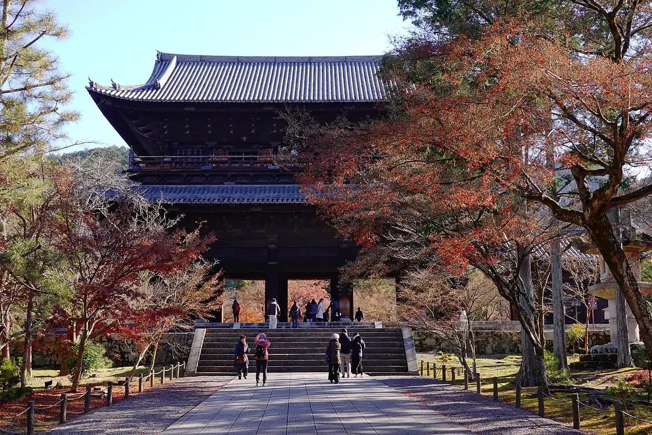
Choose the precinct walk and one paid interior if time permits. Several parts of the complex have their own entrance arrangements.
Allow 20–30 minutes between the incline area and Nanzen-ji, more for photographs and uneven sections. Use public paths and signed crossings.
Take lunch around the Nanzen-ji or Okazaki side after the walk. Check prices before ordering and allow an hour for a proper rest.
Wet rails and stone steps can be slippery. Shorten the incline and use an open Okazaki museum instead if conditions are poor.
Before you leave
Confirm opening dates, last admission and any timed tickets before starting. Carry a charged phone for tickets and directions, and leave room for queues and a seated meal. Historic paths may have steps or uneven surfaces; check the official accessibility details if you need a step-free route. Photos show the actual places at the time they were taken, not a guarantee of today’s foliage, displays or access.
More routes nearby
Sources & further reading
- Keage Incline — official visitor informationChecked 2026-10-22
- Kyoto City Tourism: temple opening informationChecked 2026-10-22